

TL;DR

Get travel and outdoor gear delivered free with Prime
- Fast, free delivery on millions of items
- Prime Video, Amazon Music and more included
- Member-only deals all year
Belgium has launched a live map showing real-time public transport data across the country. The tool aims to enhance commuter convenience, though some features remain in testing. The development reflects growing interest in digital transit solutions.
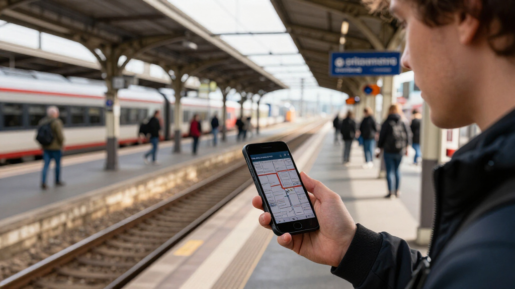
Belgium has introduced a live map of its public transport network, offering real-time updates on bus, tram, and train locations across the country. The initiative aims to improve transparency and convenience for commuters, with the platform now accessible via official transit websites and mobile apps. This development marks a significant step in digitalizing public transport information in Belgium, though some features are still being refined.
The live map was officially launched in March 2024 by the Belgian mobility authorities, with the goal of providing passengers with up-to-the-minute data on vehicle locations and service statuses. The platform aggregates data from various transit operators, including SNCB (National Railway Company of Belgium), De Lijn (Flanders), TEC (Wallonia), and STIB/MIVB (Brussels). It displays real-time positions, expected arrival times, and service alerts, aiming to reduce waiting times and improve overall user experience.
Access to the map is available through official transit websites and mobile applications, with some cities also integrating the tool into their local transit apps. According to the Belgian Ministry of Mobility, the project was developed over the past year, with a focus on making transit data more transparent and accessible. Officials confirmed that the system is currently live and functional in most urban areas, with ongoing efforts to expand coverage and integrate additional data sources.
While the platform is operational, authorities acknowledge that some features, such as predictive arrival times and crowding information, are still under testing or in development. They emphasized that the core real-time vehicle tracking is confirmed and reliable, but enhancements are expected in the coming months.
Impact of Real-Time Transit Data on Belgian Commuters
The launch of the live map represents a significant advancement in Belgium’s public transport digital infrastructure. By providing real-time data, it can help reduce wait times, improve route planning, and increase overall transit efficiency. For daily commuters, this tool offers greater transparency, potentially making public transport more attractive compared to private vehicles. It also aligns with broader European trends toward digitalization and smart mobility solutions, positioning Belgium as a progressive player in this space.
Moreover, the platform may influence transit policy and investment, encouraging further development of digital services and infrastructure upgrades. As urban populations grow and congestion increases, accessible real-time information becomes essential for managing demand and improving service reliability. The initiative could serve as a model for other countries seeking to modernize their transit systems.
real-time public transport map Belgium
As an affiliate, we earn on qualifying purchases.
As an affiliate, we earn on qualifying purchases.
Belgium’s Digital Transit Initiatives and Recent Developments
Belgium has been gradually expanding its digital transit offerings over the past few years, including mobile ticketing, real-time alerts, and integrated journey planners. The recent launch of the live map builds on these efforts, reflecting a broader national strategy to modernize public transport and meet increasing passenger expectations for digital services. Prior to this, transit agencies relied heavily on static timetables and limited real-time information, which often led to delays and passenger frustration.
The development of this live map follows similar initiatives in other European cities, where real-time data has become a key component of smart mobility. The project was supported by European Union funding aimed at promoting sustainable and digital transportation. While the platform is now operational, officials have indicated that continuous improvements are planned, including enhanced predictive features and crowding estimates, which are still under testing.
Interest in the platform has surged in recent weeks, likely driven by increased media coverage and growing commuter demand for reliable real-time information. However, it is not yet clear how widespread adoption will be or how the system will evolve in the coming months.
Features Still Under Development and Data Reliability
While the core real-time vehicle tracking is confirmed operational, some advanced features such as predictive arrival times, crowding estimates, and service alerts are still in testing or development phases. It is unclear how quickly these features will be fully integrated and reliable across all regions. Additionally, the long-term data accuracy and system robustness remain to be evaluated as more users begin to rely on the platform.
There is also uncertainty about the extent of coverage, especially in rural or less-served areas, and how integration with other mobility services will evolve. Officials have not provided a detailed timeline for full feature rollout or reliability benchmarks.
Upcoming Enhancements and Broader Rollout Plans
Authorities plan to expand the platform’s features over the next few months, including real-time crowding information and more precise prediction algorithms. They also aim to increase coverage in rural and suburban areas, making the platform more comprehensive nationwide.
Further integration with ticketing systems and other mobility services is expected, facilitating seamless journey planning. Officials have indicated that user feedback will play a key role in guiding future updates, and continuous technical improvements are planned to enhance data accuracy and system stability.
Monitoring user adoption and system performance will be crucial in assessing the platform’s success and identifying areas for improvement.
Key Questions
Is the live map available in all Belgian cities?
The platform is currently operational in most major urban areas, including Brussels, Antwerp, Ghent, and Liège. Coverage in rural regions is still expanding, and some smaller towns may have limited or no access at this stage.
Can I access the live map on my mobile device?
Yes, the live map is accessible via official transit mobile apps and websites, with dedicated features for smartphones and tablets.
Will the platform show real-time crowding information?
This feature is still under development and testing. It is not yet available for all routes but is expected to be integrated in the coming months.
How reliable is the real-time data?
Data is currently considered reliable for vehicle positions and expected arrivals, but some features are still being refined. Authorities have committed to ongoing improvements.
Will this system replace traditional timetables?
No, the platform is designed to complement existing schedules, providing real-time updates to improve planning and reduce uncertainties.
Source: hn
Columbus Day / Indigenous Peoples' Day Picks
long weekend sales
As an affiliate, we earn on qualifying purchases.